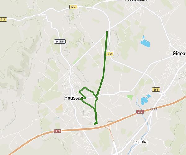
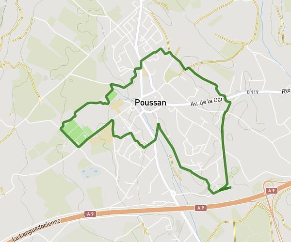
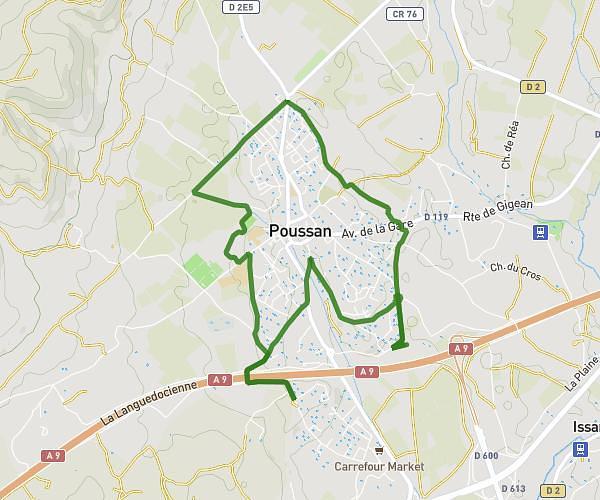
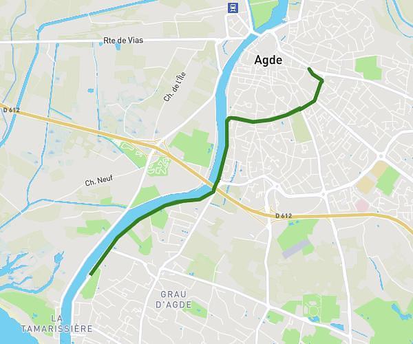
This running route covers 5.252mi starting from Pézenas, Hérault. The run does not return to the trailhead and ends near La Méridienne, 34700 Pézenas, France. This run is rated as moderate, expect about 51m to complete it. The route has an elevation gain of 220ft and an elevation loss of 236ft.
Pézenas
Route details
6.18mph
Speed
583 kcal
Calories burned
Point to point
Route type
30ft
Min altitude
66ft
Max altitude
Route profile
220ft
Elevation gain
236ft
Elevation loss
30ft
Min altitude
66ft
Max altitude
How to get there
Trailhead: 15 Rue Des Calquières Basses, 34120 Pézenas, France
GPS coordinates of the trailhead: 43.45735, 3.43009 / 43°27'26'' N, 3°25'48'' E