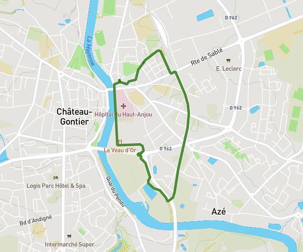
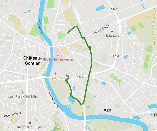
This running route covers 3.313mi starting from Changé, Mayenne. The run is a loop trail and returns to the trailhead. This run is rated as easy, expect about 36m to complete it. The route has an elevation gain of 253ft and an elevation loss of 246ft.
Parcours filles
Route details
5.52mph
Speed
412 kcal
Calories burned
Loop trail
Route type
154ft
Min altitude
292ft
Max altitude
Route profile
253ft
Elevation gain
246ft
Elevation loss
154ft
Min altitude
292ft
Max altitude
How to get there
Trailhead: 10 Rue Albert Einstein, 53810 Changé, France
GPS coordinates of the trailhead: 48.089812, -0.750374 / 48°5'23'' N, 0°45'1'' W