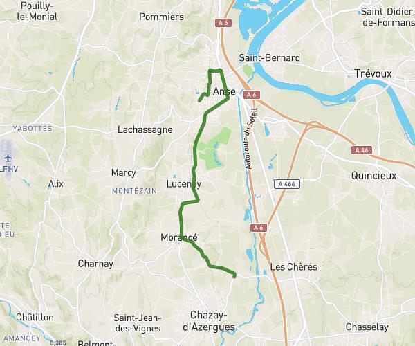
This running route covers 4.038mi starting from Bessenay, Rhône. The run is a loop trail and returns to the trailhead. This run is rated as easy, expect about 52m to complete it. The route has an elevation gain of 876ft and an elevation loss of 850ft.
U15 La Giraudière 1
Route details
4.66mph
Speed
595 kcal
Calories burned
Loop trail
Route type
978ft
Min altitude
1493ft
Max altitude
Route profile
876ft
Elevation gain
850ft
Elevation loss
978ft
Min altitude
1493ft
Max altitude
How to get there
Trailhead: 290 Route De La Giraudière, 69690 Bessenay, France
GPS coordinates of the trailhead: 45.75343, 4.54944 / 45°45'12'' N, 4°32'57'' E