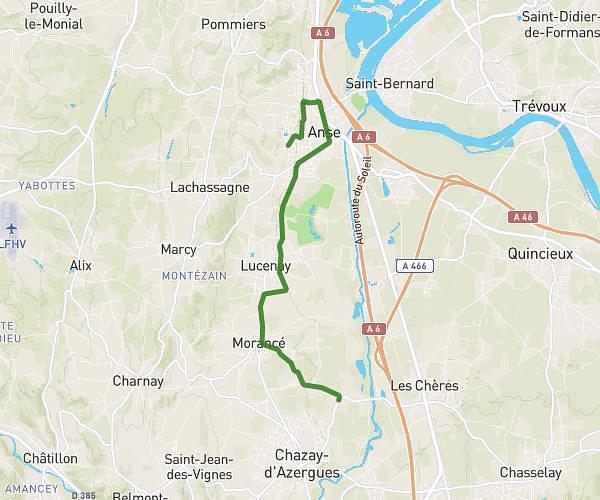
This running route covers 2.415mi starting from Montrottier, Rhône. The run is a loop trail and returns to the trailhead. This run is rated as easy, expect about 30m54s to complete it. The route has an elevation gain of 358ft and an elevation loss of 354ft.
U15 Montrottier 2
Route details
4.69mph
Speed
353 kcal
Calories burned
Loop trail
Route type
1969ft
Min altitude
2218ft
Max altitude
Route profile
358ft
Elevation gain
354ft
Elevation loss
1969ft
Min altitude
2218ft
Max altitude
How to get there
Trailhead: 285 Route De Saint-Martin-Les-Périls, 69770 Montrottier, France
GPS coordinates of the trailhead: 45.79294, 4.46378 / 45°47'34'' N, 4°27'49'' E