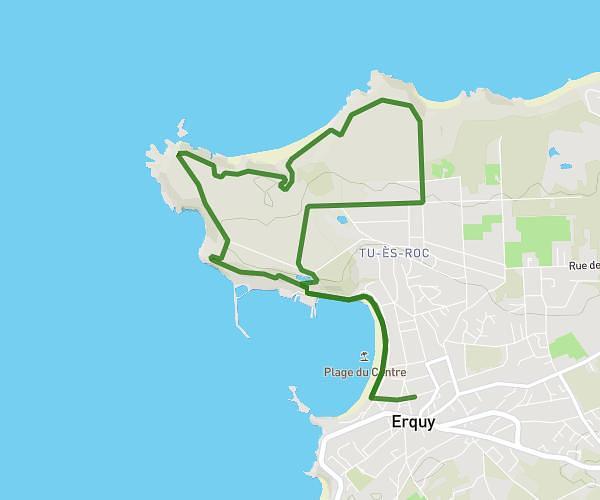
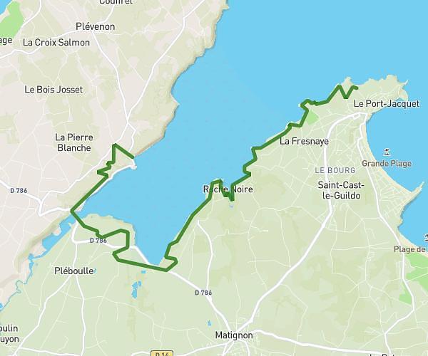
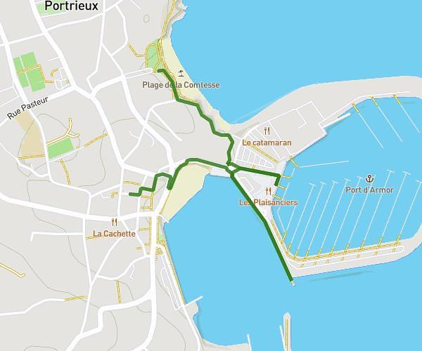
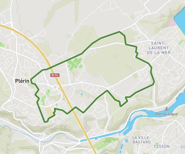
Erquy Lancieux

Route details

Explore this hiking route of 51,814mi starting from Erquy, Côtes-d'Armor. The hike does not return to the starting point and ends near 1 Rue De L'église, 22770 Lancieux, France. This hike has no defined difficulty level, plan for about 59m to complete it. The route has a positive elevation gain of 1893ft and a negative elevation loss of 1893ft.

Description of the route by the creator

Erquy Lancieux

(Description automatically translated)

Route profile

1893ft
Elevation +
1893ft
Elevation -
0ft
Min altitude
230ft
Max altitude

How to get there

Route starting point: 11 Square De L'hôtel De Ville, 22430 Erquy, France

GPS coordinates of the starting point: 48.62854, -2.46566 / 48°37'42'' N, 2°27'56'' W