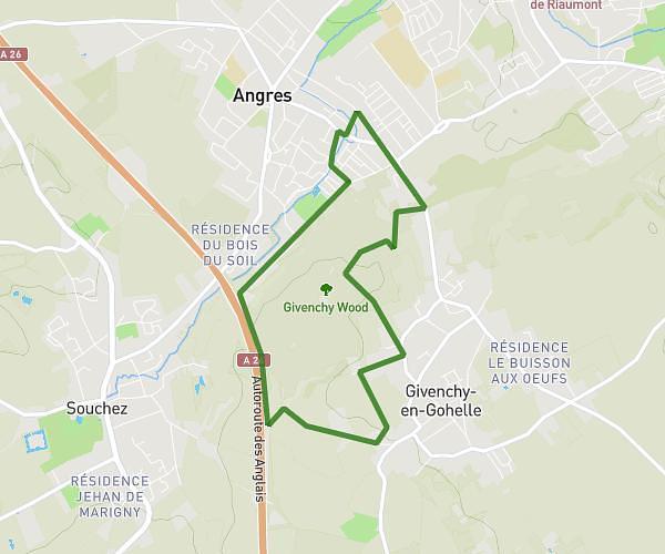
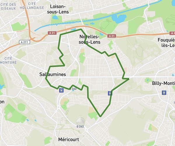
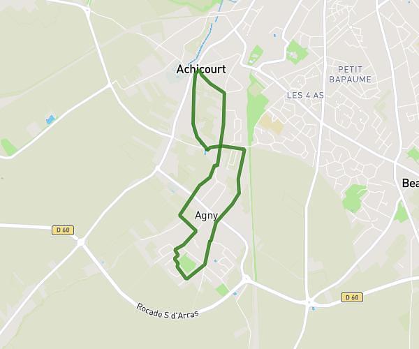
This running route covers 3.933mi starting from Nœux-les-Mines, Pas-de-Calais. The run is a loop trail and returns to the trailhead. This run is rated as easy, expect about 42m to complete it. The route has an elevation gain of 154ft and an elevation loss of 154ft.
Course
Route details
5.62mph
Speed
480 kcal
Calories burned
Loop trail
Route type
56ft
Min altitude
89ft
Max altitude
Route profile
154ft
Elevation gain
154ft
Elevation loss
56ft
Min altitude
89ft
Max altitude
How to get there
Trailhead: 62 Rue René Cassin, 62290 Nœux-les-Mines, France
GPS coordinates of the trailhead: 50.488011, 2.663206 / 50°29'16'' N, 2°39'47'' E