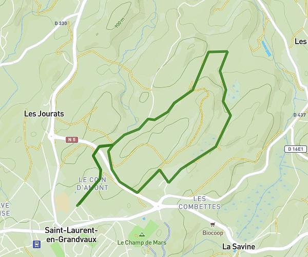
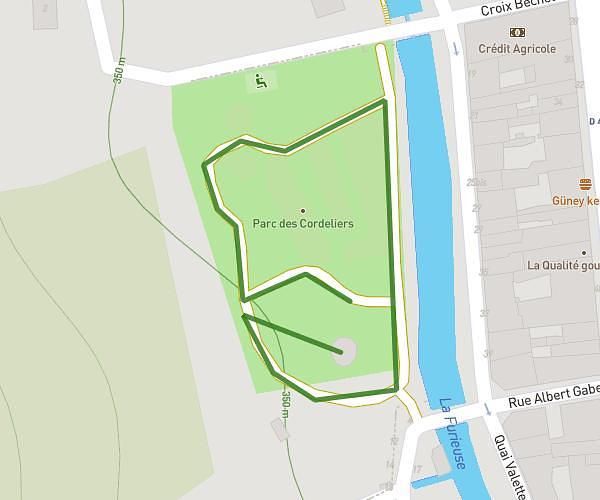
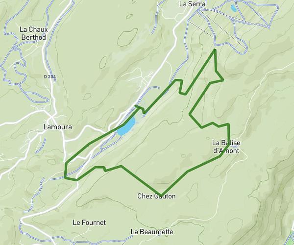
This running route covers 1.411mi starting from Champagnole, Jura. The run is a loop trail and returns to the trailhead. This run is rated as easy, expect about 12m30s to complete it. The route has an elevation gain of 13ft and an elevation loss of 10ft.
Tour dans Champa
Route details
6.77mph
Speed
143 kcal
Calories burned
Loop trail
Route type
1772ft
Min altitude
1785ft
Max altitude
Route profile
13ft
Elevation gain
10ft
Elevation loss
1772ft
Min altitude
1785ft
Max altitude
How to get there
Trailhead: 22 Avenue Jean Jaurès, 39300 Champagnole, France
GPS coordinates of the trailhead: 46.73691, 5.91967 / 46°44'12'' N, 5°55'10'' E