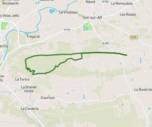
This hiking trail covers 6.248mi starting from Sixt-sur-Aff, Ille-et-Vilaine. The hike is a loop trail and returns to the trailhead. This hike is rated as moderate, plan for about 2h11m to complete it. The route has an elevation gain of 472ft and an elevation loss of 472ft.
Site de la roche
Route details
2.86mph
Speed
939 kcal
Calories burned
2.9%
Avg grade
Loop trail
Route type
59ft
Min altitude
285ft
Max altitude
Route profile
472ft
Elevation gain
472ft
Elevation loss
59ft
Min altitude
285ft
Max altitude
How to get there
Trailhead: 26 Tenihan, 35550 Sixt-sur-Aff, France
GPS coordinates of the trailhead: 47.762194, -2.063005 / 47°45'43'' N, 2°3'46'' W