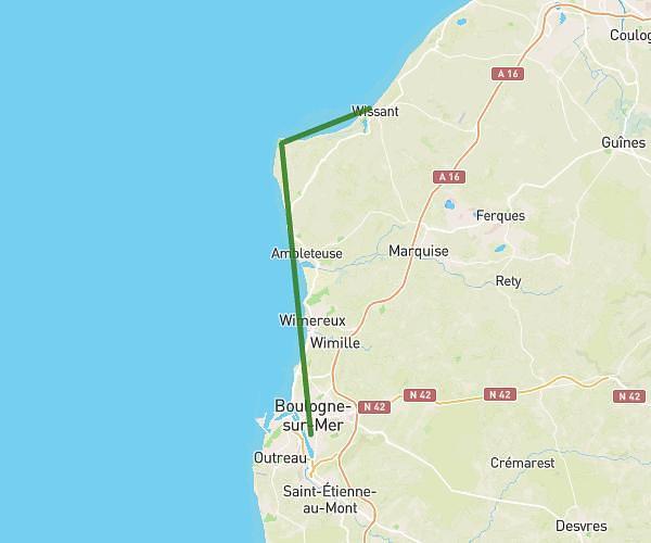
Explore this hiking route of 7.67km starting from Audinghen, Pas-de-Calais. The hike is a loop and returns to the starting point. This hike has no defined difficulty level, plan for about 1h34m to complete it. The route has a positive elevation gain of 107m and a negative elevation loss of 107m.
Rando du 2 fevrier
Route details
Route profile
107m
Elevation +
107m
Elevation -
14m
Min altitude
64m
Max altitude
How to get there
Route starting point: Rue Du Cimetière, 62179 Audinghen
GPS coordinates of the starting point: 50.85245, 1.61123 / 50°51'8'' N, 1°36'40'' E
Calculate the time to reach the starting point from your location or an address