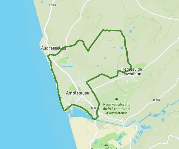
This hiking trail covers 4.685mi starting from Marck, Pas-de-Calais. The hike is a loop trail and returns to the trailhead. This hike is rated as easy, plan for about 1h30m to complete it. The route has an elevation gain of 43ft and an elevation loss of 43ft.
parcours 7,5KM BON
Route details
3.11mph
Speed
635 kcal
Calories burned
0.3%
Avg grade
Loop trail
Route type
0ft
Min altitude
16ft
Max altitude
Route profile
43ft
Elevation gain
43ft
Elevation loss
0ft
Min altitude
16ft
Max altitude
How to get there
Trailhead: 187 Allée De La Découverte, 62730 Marck, France
GPS coordinates of the trailhead: 50.9561, 1.92844 / 50°57'21'' N, 1°55'42'' E