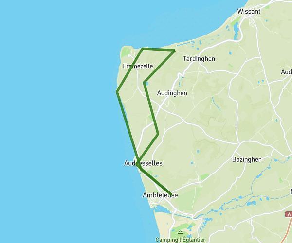
This hiking trail covers 6.839mi starting from Ambleteuse, Pas-de-Calais. The hike is a loop trail and returns to the trailhead. This hike is rated as easy, plan for about 2h1m to complete it. The route has an elevation gain of 427ft and an elevation loss of 430ft.
Audresselle
Route details
3.39mph
Speed
864 kcal
Calories burned
2.4%
Avg grade
Loop trail
Route type
13ft
Min altitude
226ft
Max altitude
Route profile
427ft
Elevation gain
430ft
Elevation loss
13ft
Min altitude
226ft
Max altitude
How to get there
Trailhead: 19 Rue Du Fort, 62164 Ambleteuse, France
GPS coordinates of the trailhead: 50.80646, 1.60154 / 50°48'23'' N, 1°36'5'' E