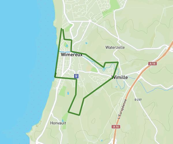
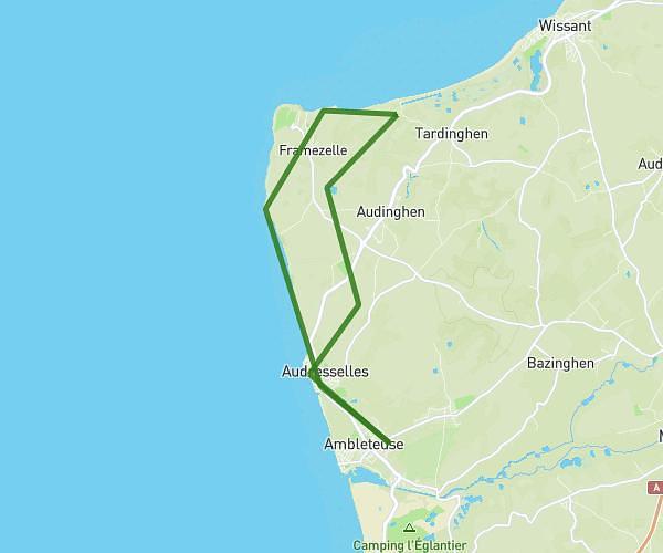
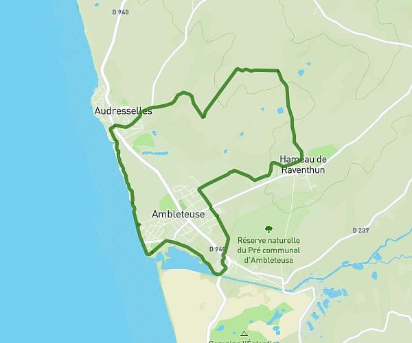
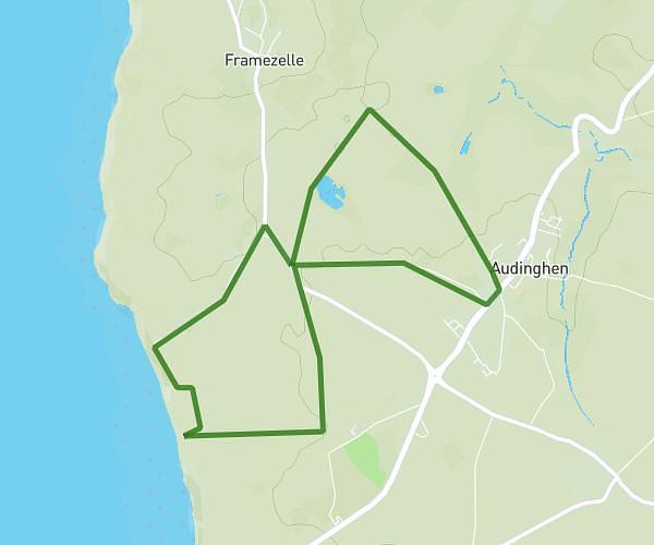
This hiking trail covers 9.654mi starting from Saint-Étienne-au-Mont, Pas-de-Calais. The hike does not return to the trailhead and ends near 5 Rue De La Gare, 62176 Camiers, France. This hike is rated as moderate, plan for about 3h11m to complete it. The route has an elevation gain of 482ft and an elevation loss of 659ft.
Raid 1ereclasse 2
Route details
3.02mph
Speed
1364 kcal
Calories burned
2.2%
Avg grade
Point to point
Route type
7ft
Min altitude
285ft
Max altitude
Route profile
482ft
Elevation gain
659ft
Elevation loss
7ft
Min altitude
285ft
Max altitude
How to get there
Trailhead: D 119, 62360 Saint-Étienne-au-Mont, France
GPS coordinates of the trailhead: 50.660751, 1.60464 / 50°39'38'' N, 1°36'16'' E