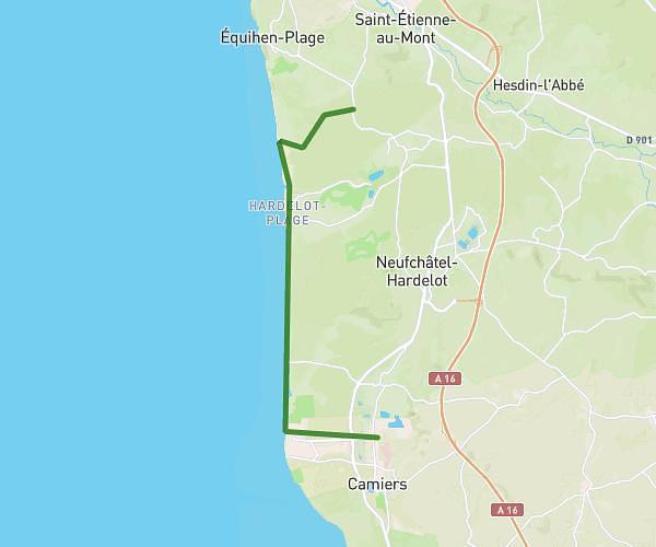
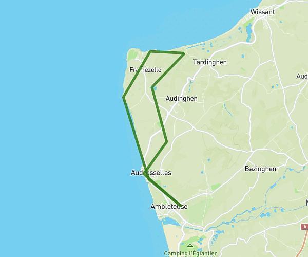
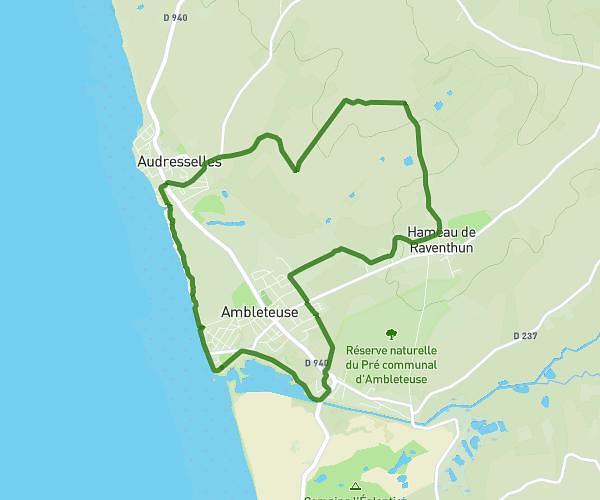
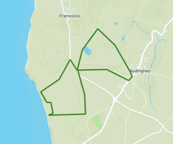
This hiking trail covers 5.775mi starting from Wimereux, Pas-de-Calais. The hike is a loop trail and returns to the trailhead. This hike is rated as easy, plan for about 2h4m to complete it. The route has an elevation gain of 436ft and an elevation loss of 446ft.
Rando canine 21 fev 26
Route details
2.8mph
Speed
889 kcal
Calories burned
2.9%
Avg grade
Loop trail
Route type
7ft
Min altitude
154ft
Max altitude
Route profile
436ft
Elevation gain
446ft
Elevation loss
7ft
Min altitude
154ft
Max altitude
How to get there
Trailhead: 1 Rue Duguay Trouin, 62930 Wimereux, France
GPS coordinates of the trailhead: 50.775908, 1.608012 / 50°46'33'' N, 1°36'28'' E