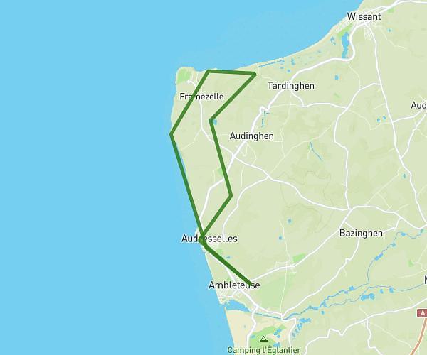
This hiking trail covers 4.764mi starting from Audinghen, Pas-de-Calais. The hike is a loop trail and returns to the trailhead. This hike is rated as easy, plan for about 1h34m to complete it. The route has an elevation gain of 351ft and an elevation loss of 351ft.
Rando du 2 fevrier
Route details
3.04mph
Speed
673 kcal
Calories burned
2.8%
Avg grade
Loop trail
Route type
46ft
Min altitude
210ft
Max altitude
Route profile
351ft
Elevation gain
351ft
Elevation loss
46ft
Min altitude
210ft
Max altitude
How to get there
Trailhead: 85 Rue Du Cimetière, 62179 Audinghen, France
GPS coordinates of the trailhead: 50.85245, 1.61123 / 50°51'8'' N, 1°36'40'' E