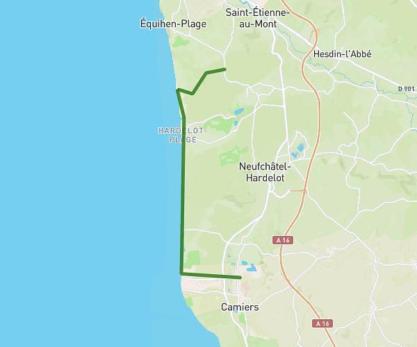
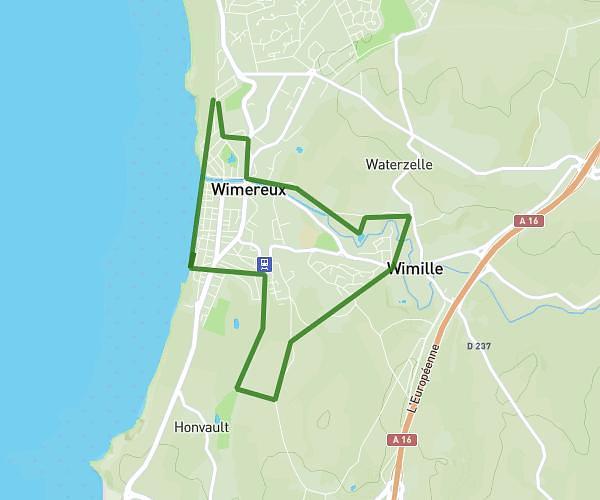
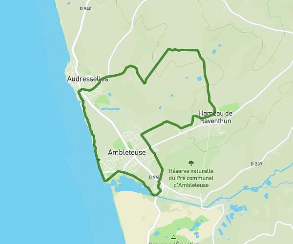
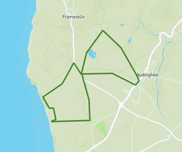
This hiking trail covers 12.932mi starting from Ambleteuse, Pas-de-Calais. The hike is a loop trail and returns to the trailhead. This hike is rated as moderate, plan for about 4h31m to complete it. The route has an elevation gain of 679ft and an elevation loss of 682ft.
20 kms
Route details
2.86mph
Speed
1928 kcal
Calories burned
2.0%
Avg grade
Loop trail
Route type
16ft
Min altitude
213ft
Max altitude
Route profile
679ft
Elevation gain
682ft
Elevation loss
16ft
Min altitude
213ft
Max altitude
How to get there
Trailhead: 3 Résidence Des Pluviers Dorés, 62164 Ambleteuse, France
GPS coordinates of the trailhead: 50.81156, 1.6136 / 50°48'41'' N, 1°36'48'' E