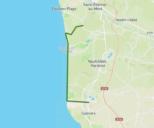
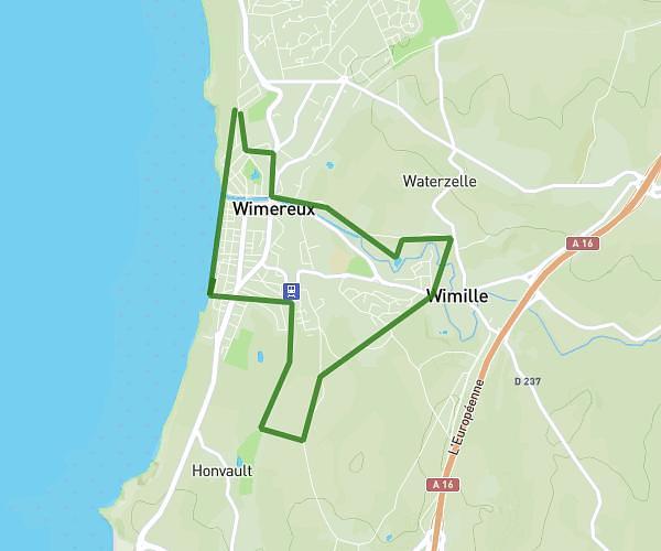
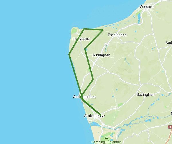
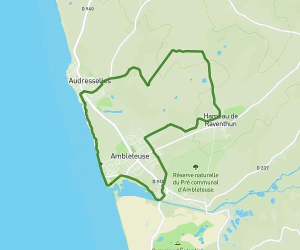
This hiking trail covers 17.884mi starting from Boulogne-sur-Mer, Pas-de-Calais. The hike does not return to the trailhead and ends near 1 Digue De Mer, 62179 Wissant, France. This hike is rated as hard, plan for about 4h12m to complete it. The route has an elevation gain of 1007ft and an elevation loss of 1030ft.
boulogne -wissant
Route details
4.26mph
Speed
1795 kcal
Calories burned
2.2%
Avg grade
Point to point
Route type
0ft
Min altitude
161ft
Max altitude
Route profile
1007ft
Elevation gain
1030ft
Elevation loss
0ft
Min altitude
161ft
Max altitude
How to get there
Trailhead: 30 Boulevard Voltaire, 62200 Boulogne-sur-Mer, France
GPS coordinates of the trailhead: 50.716, 1.61014 / 50°42'57'' N, 1°36'36'' E