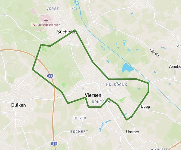
This running route covers 2.28mi starting from Düsseldorf, North Rhine-Westphalia. The run does not return to the trailhead and ends near In Den Großen Banden 17, 40225 Düsseldorf, Germany. This run is rated as easy, expect about 28m to complete it. The route has an elevation gain of 33ft and an elevation loss of 23ft.
Südpark
Route details
4.88mph
Speed
320 kcal
Calories burned
Point to point
Route type
115ft
Min altitude
138ft
Max altitude
Route profile
33ft
Elevation gain
23ft
Elevation loss
115ft
Min altitude
138ft
Max altitude
How to get there
Trailhead: Brinckmannstraße 13b, 40225 Düsseldorf, Germany
GPS coordinates of the trailhead: 51.20232, 6.78921 / 51°12'8'' N, 6°47'21'' E