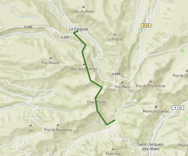
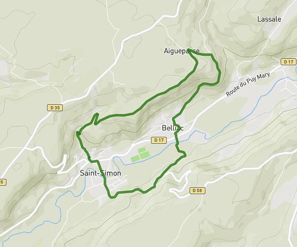
Explore this hiking route of 33.86km starting from Aurillac, Cantal. The hike does not return to the starting point and ends near Route Des Volcans, 15590 Mandailles-Saint-Julien. This hike has no defined difficulty level, plan for about 3h23m to complete it. The route has a positive elevation gain of 1116m and a negative elevation loss of 782m.
aurillac stsimon berganty
Route details
Route profile
1116m
Elevation +
782m
Elevation -
677m
Min altitude
1268m
Max altitude
How to get there
Route starting point: Rue Fernand Léger, 15000 Aurillac
GPS coordinates of the starting point: 44.93287, 2.43539 / 44°55'58'' N, 2°26'7'' E
Calculate the time to reach the starting point from your location or an address