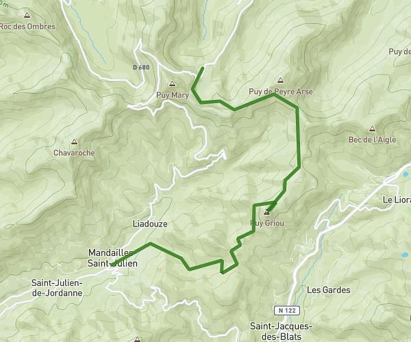
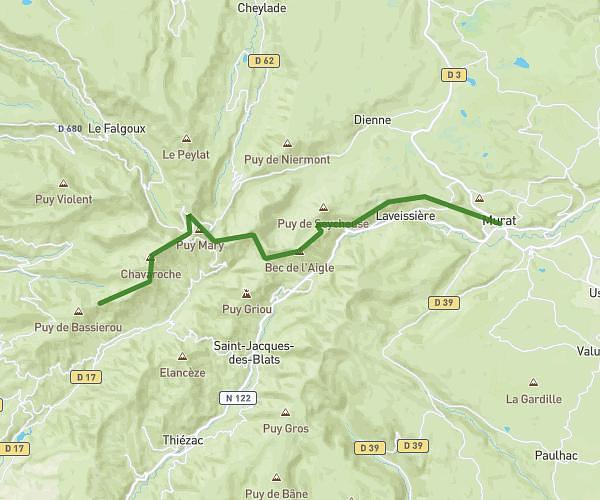
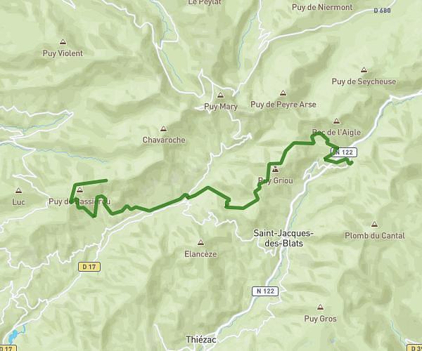
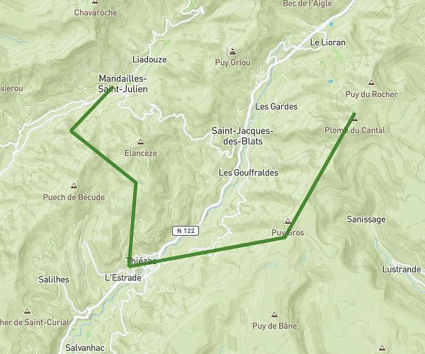
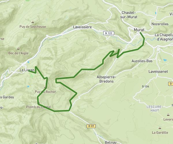
This hiking trail covers 4.807mi starting from Saint-Simon, Cantal. The hike is a loop trail and returns to the trailhead. This hike is rated as hard, plan for about 1h40m to complete it. The route has an elevation gain of 1063ft and an elevation loss of 1063ft.
Boussac Belliac Aigueparse Rigailles
Route details
2.88mph
Speed
749 kcal
Calories burned
8.4%
Avg grade
Loop trail
Route type
2211ft
Min altitude
2854ft
Max altitude
Steep climb
Route profile
1063ft
Elevation gain
1063ft
Elevation loss
2211ft
Min altitude
2854ft
Max altitude
How to get there
Trailhead: Chemin De Poutchou, 15130 Saint-Simon
GPS coordinates of the trailhead: 44.96626, 2.48778 / 44°57'58'' N, 2°29'16'' E