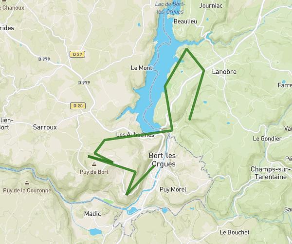
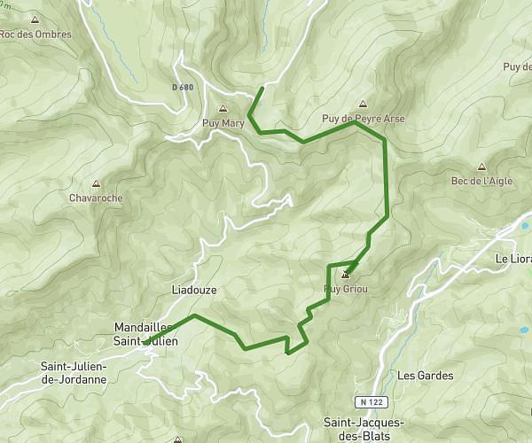
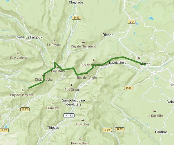
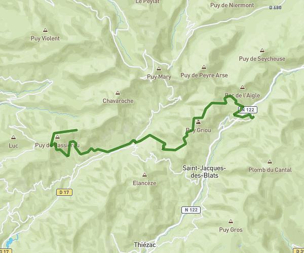
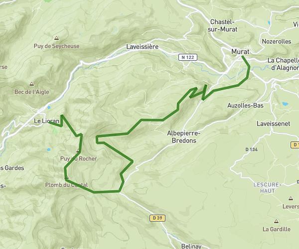
This hiking trail covers 10.058mi starting from Le Falgoux, Cantal. The hike does not return to the trailhead and ends near 24 Chemin De La Cascade, 15590 Mandailles-Saint-Julien, France. This hike is rated as strenuous, plan for about 1h37m to complete it. The route has an elevation gain of 3215ft and an elevation loss of 3031ft.
Jour 1 Tour du Puy Mary
Route details
6.22mph
Speed
748 kcal
Calories burned
11.8%
Avg grade
Point to point
Route type
2946ft
Min altitude
5617ft
Max altitude
Steep climb
Route profile
3215ft
Elevation gain
3031ft
Elevation loss
2946ft
Min altitude
5617ft
Max altitude
How to get there
Trailhead: Route De Fontolive, 15380 Le Falgoux, France
GPS coordinates of the trailhead: 45.15297, 2.62202 / 45°9'10'' N, 2°37'19'' E