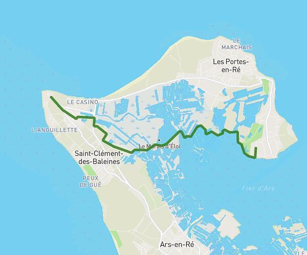
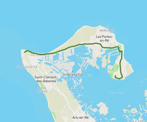
This cycling route covers 18.624mi starting from Le Bois-Plage-en-Ré, Charente-Maritime. The ride does not return to the trailhead and ends near 10 Chemin De Mouillepieds, 17670 La Couarde-sur-Mer, France. This route is rated as moderate, plan for about 2h8m to complete it. The route has an elevation gain of 33ft and an elevation loss of 46ft.
Ile de Re
Route details
1124 kcal
Calories burned
0.1%
Avg grade
Point to point
Route type
0ft
Min altitude
23ft
Max altitude
Route profile
33ft
Elevation gain
46ft
Elevation loss
0ft
Min altitude
23ft
Max altitude
How to get there
Trailhead: 22 Avenue Du Pas Des Boeufs, 17580 Le Bois-Plage-en-Ré, France
GPS coordinates of the trailhead: 46.18209, -1.38552 / 46°10'55'' N, 1°23'7'' W