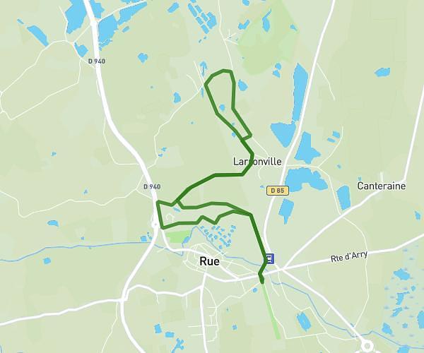
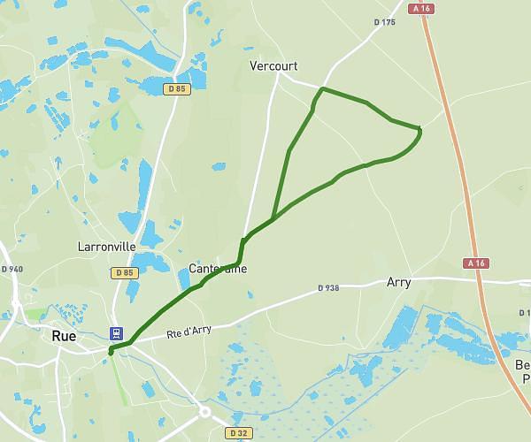
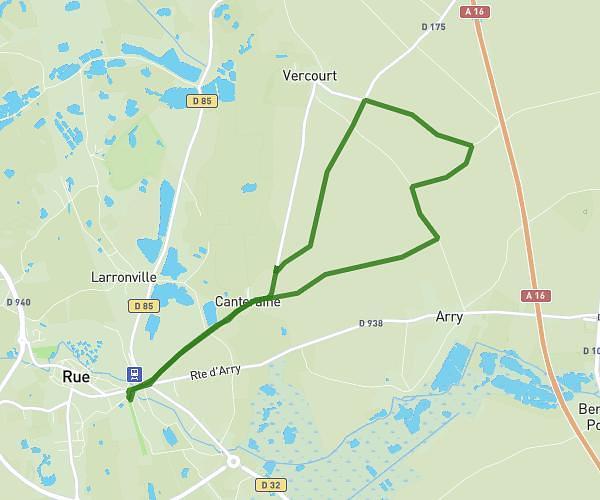
This running route covers 6.666mi starting from Favières, Somme. The run does not return to the trailhead and ends near 24 D 140, 80860 Ponthoile, France. This run is rated as moderate, expect about 34m to complete it. The route has an elevation gain of 171ft and an elevation loss of 174ft.
Favieres somme boucle 5km
Route details
11.76mph
Speed
389 kcal
Calories burned
Point to point
Route type
7ft
Min altitude
26ft
Max altitude
Route profile
171ft
Elevation gain
174ft
Elevation loss
7ft
Min altitude
26ft
Max altitude
How to get there
Trailhead: 1263 Rue De Mazurette, 80120 Favières, France
GPS coordinates of the trailhead: 50.23959, 1.67777 / 50°14'22'' N, 1°40'39'' E