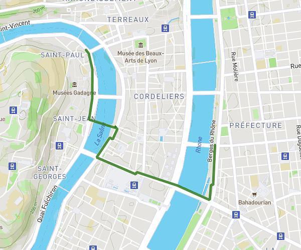
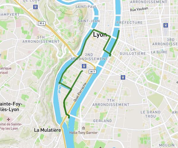
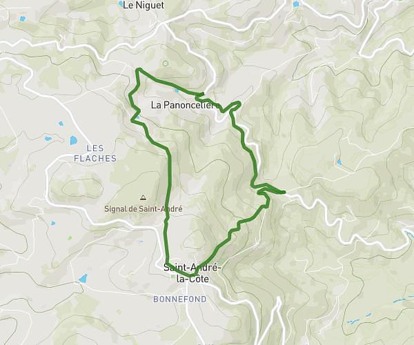
Explore this hiking route of 1,813mi starting from Lyon, Rhône. The hike does not return to the starting point and ends near 2 Place De Montreal, 69007 Lyon, France. This hike has no defined difficulty level, plan for about 36m to complete it. The route has a positive elevation gain of 121ft and a negative elevation loss of 118ft.
CSI
Route details
Route profile
121ft
Elevation +
118ft
Elevation -
535ft
Min altitude
581ft
Max altitude
How to get there
Route starting point: 155 Rue Challemel-Lacour, 69008 Lyon, France
GPS coordinates of the starting point: 45.73053, 4.8517 / 45°43'49'' N, 4°51'6'' E