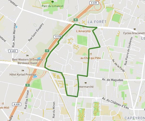
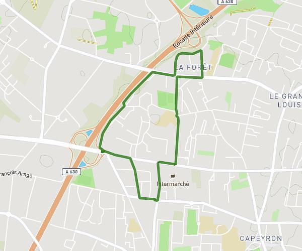
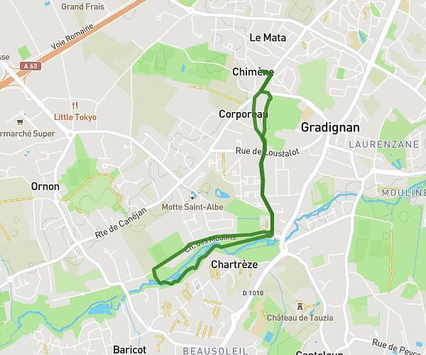
This running route covers 11.134mi starting from Bordeaux, Gironde. The run is a loop trail and returns to the trailhead. This run is rated as hard, expect about 2h to complete it. The route has an elevation gain of 512ft and an elevation loss of 505ft.
Counord - Auchan Bouliac - Chaban
Route details
5.57mph
Speed
1372 kcal
Calories burned
Loop trail
Route type
0ft
Min altitude
49ft
Max altitude
Route profile
512ft
Elevation gain
505ft
Elevation loss
0ft
Min altitude
49ft
Max altitude
How to get there
Trailhead: 76 Avenue Émile Counord, 33300 Bordeaux, France
GPS coordinates of the trailhead: 44.858726, -0.574838 / 44°51'31'' N, 0°34'29'' W