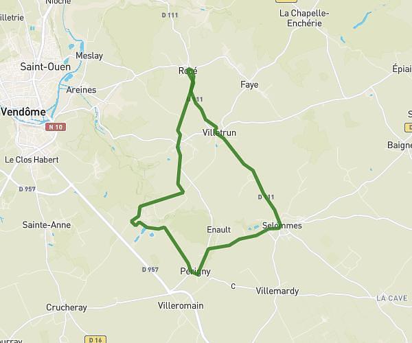
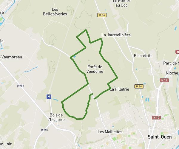
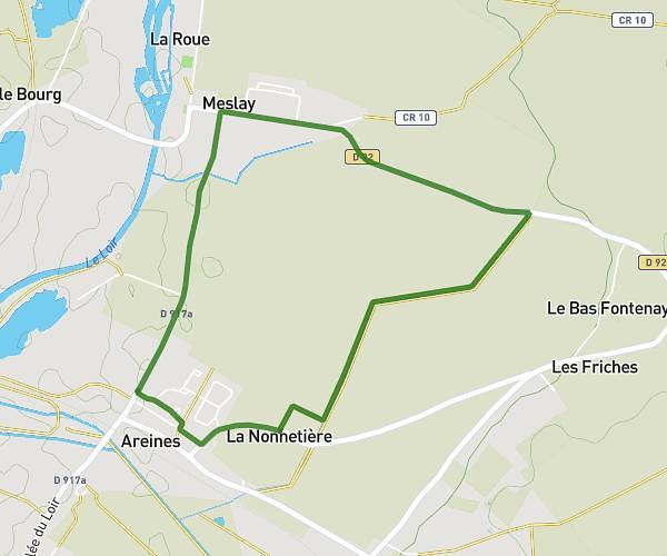
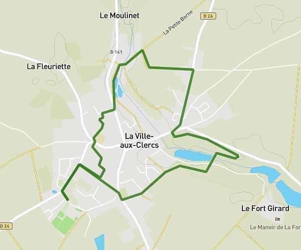
This running route covers 4.763mi starting from Lavardin, Loir-et-Cher. The run is a loop trail and returns to the trailhead. This run is rated as easy, expect about 46m to complete it. The route has an elevation gain of 636ft and an elevation loss of 640ft.
Lavardin 15/08
Route details
6.21mph
Speed
526 kcal
Calories burned
Loop trail
Route type
217ft
Min altitude
466ft
Max altitude
Route profile
636ft
Elevation gain
640ft
Elevation loss
217ft
Min altitude
466ft
Max altitude
How to get there
Trailhead: 15 Place Du Capitaine Duvigneau, 41800 Lavardin, France
GPS coordinates of the trailhead: 47.74222, 0.88503 / 47°44'31'' N, 0°53'6'' E