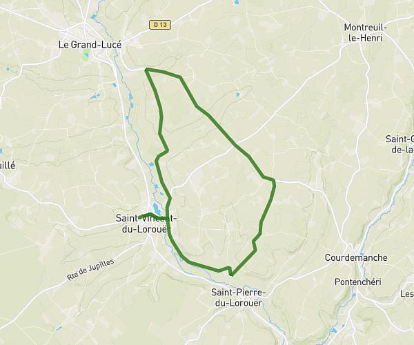
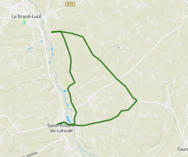
This running route covers 2.599mi starting from Saint-Jacques-des-Guérets, Loir-et-Cher. The run is a loop trail and returns to the trailhead. This run is rated as easy, expect about 25m3s to complete it. The route has an elevation gain of 325ft and an elevation loss of 325ft.
Troo 15/08
Route details
6.23mph
Speed
286 kcal
Calories burned
Loop trail
Route type
203ft
Min altitude
427ft
Max altitude
Route profile
325ft
Elevation gain
325ft
Elevation loss
203ft
Min altitude
427ft
Max altitude
How to get there
Trailhead: 2 Rue Du Loir, 41800 Saint-Jacques-des-Guérets, France
GPS coordinates of the trailhead: 47.77419, 0.79135 / 47°46'27'' N, 0°47'28'' E