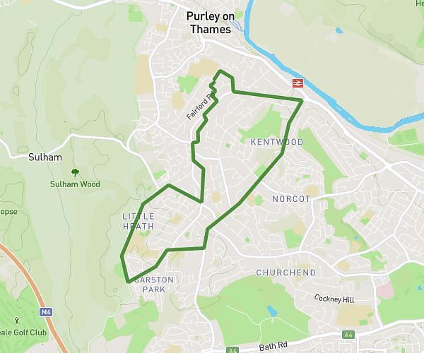
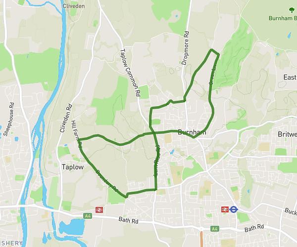
This running route covers 8.131mi starting from Slough, England. The run does not return to the trailhead and ends near Lent Rise Road, SL1 7AH Slough. This run is rated as hard, expect about 56m4s to complete it. The route has an elevation gain of 344ft and an elevation loss of 302ft.
Ludo13
Route details
8.7mph
Speed
641 kcal
Calories burned
Point to point
Route type
79ft
Min altitude
223ft
Max altitude
Route profile
344ft
Elevation gain
302ft
Elevation loss
79ft
Min altitude
223ft
Max altitude
How to get there
Trailhead: Lent Rise Road, SL1 7BF Slough
GPS coordinates of the trailhead: 51.52888, -0.66685 / 51°31'43'' N, 0°40'0'' W