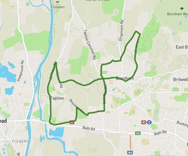
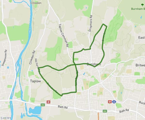
This running route covers 5.22mi starting from Reading, England. The run is a loop trail and returns to the trailhead. This run is rated as moderate, expect about 1h to complete it. The route has an elevation gain of 131ft and an elevation loss of 177ft.
Andrea wants to go running
Route details
5.22mph
Speed
686 kcal
Calories burned
Loop trail
Route type
154ft
Min altitude
331ft
Max altitude
Route profile
131ft
Elevation gain
177ft
Elevation loss
154ft
Min altitude
331ft
Max altitude
How to get there
Trailhead: 19 Skilton Road, Reading, RG31 6SB, United Kingdom
GPS coordinates of the trailhead: 51.47176, -1.04432 / 51°28'18'' N, 1°2'39'' W