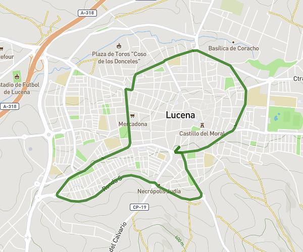
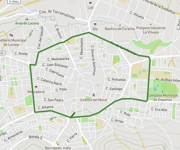
This running route covers 5.157mi starting from Puente Genil, Córdoba. The run is a loop trail and returns to the trailhead. This run is rated as moderate, expect about 55m to complete it. The route has an elevation gain of 157ft and an elevation loss of 190ft.
Cuestas
Route details
5.62mph
Speed
629 kcal
Calories burned
Loop trail
Route type
574ft
Min altitude
764ft
Max altitude
Route profile
157ft
Elevation gain
190ft
Elevation loss
574ft
Min altitude
764ft
Max altitude
How to get there
Trailhead: Calle Madre Teresa De Calcuta 159, 14500 Puente Genil, Córdoba, Spain
GPS coordinates of the trailhead: 37.38344, -4.76616 / 37°23'0'' N, 4°45'58'' W