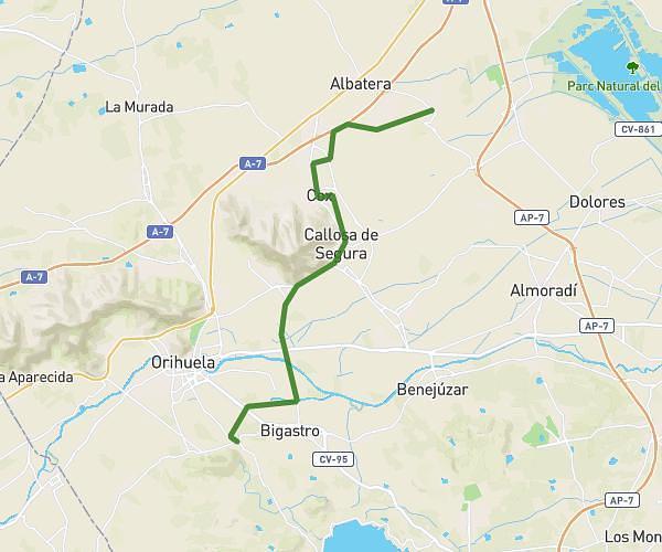
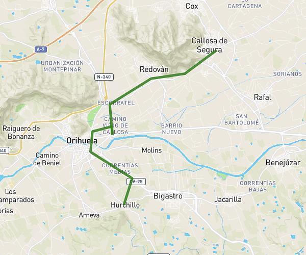
This cycling route covers 18.348mi starting from Murcia, Murcia. The ride is a loop trail and returns to the trailhead. This route is rated as strenuous, plan for about 2h27m to complete it. The route has an elevation gain of 3507ft and an elevation loss of 3507ft.
bohal cabezo plata gonzalez norte columbares garruchal torreaguera
Route details
1354 kcal
Calories burned
7.2%
Avg grade
Loop trail
Route type
164ft
Min altitude
1155ft
Max altitude
Steep climb
Route profile
3507ft
Elevation gain
3507ft
Elevation loss
164ft
Min altitude
1155ft
Max altitude
How to get there
Trailhead: Av Region Murcia (Torreaguera) 47, 30579 Murcia, Murcia, Spain
GPS coordinates of the trailhead: 37.973659, -1.055844 / 37°58'25'' N, 1°3'21'' W