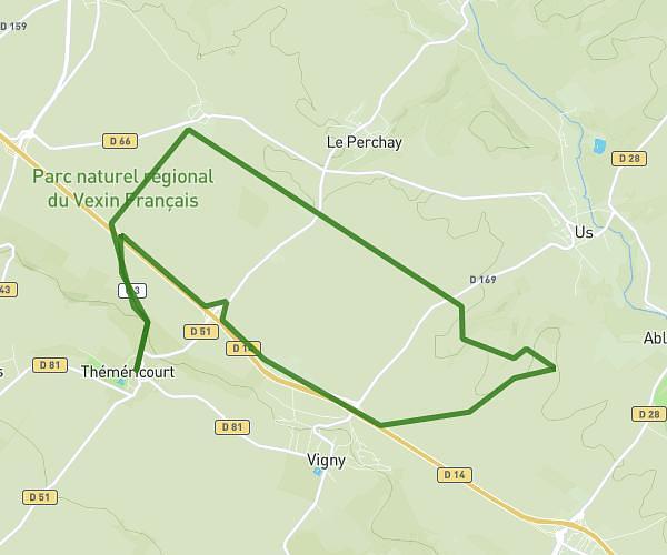
This running route covers 4.672mi starting from Ermont, Val-d'Oise. The run is a loop trail and returns to the trailhead. This run is rated as easy, expect about 47m to complete it. The route has an elevation gain of 128ft and an elevation loss of 128ft.
Ermont2
Route details
5.97mph
Speed
537 kcal
Calories burned
Loop trail
Route type
154ft
Min altitude
197ft
Max altitude
Route profile
128ft
Elevation gain
128ft
Elevation loss
154ft
Min altitude
197ft
Max altitude
How to get there
Trailhead: Route De Franconville, 95120 Ermont
GPS coordinates of the trailhead: 48.98832, 2.24992 / 48°59'17'' N, 2°14'59'' E