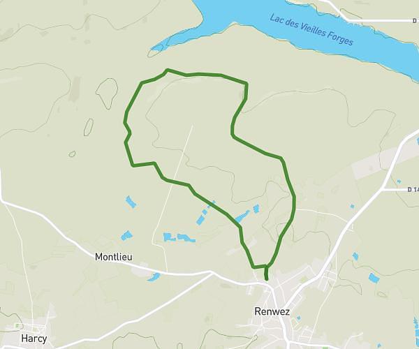
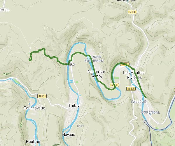
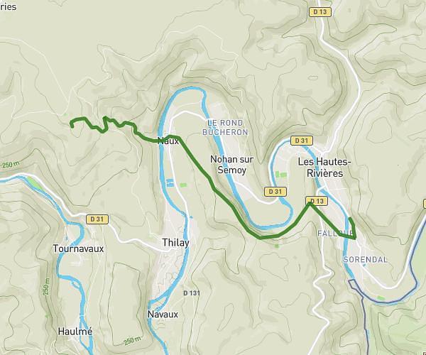
Explore this hiking route of 13.71km starting from Guignicourt-sur-Vence, Ardennes. The hike does not return to the starting point and ends near Rue De La Martine, 08430 Guignicourt-sur-Vence. This hike has no defined difficulty level, plan for about 5h2m to complete it. The route has a positive elevation gain of 313m and a negative elevation loss of 286m.
guigncourt / vence
Route details
Route profile
313m
Elevation +
286m
Elevation -
170m
Min altitude
296m
Max altitude
How to get there
Route starting point: Rue De La Martine, 08430 Guignicourt-sur-Vence
GPS coordinates of the starting point: 49.68149, 4.65225 / 49°40'53'' N, 4°39'8'' E
Calculate the time to reach the starting point from your location or an address