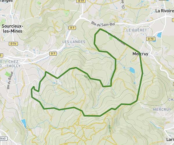
This hiking trail covers 3.585mi starting from Couzon-au-Mont-d'Or, Rhône. The hike is a loop trail and returns to the trailhead. This hike is rated as moderate, plan for about 2h28m to complete it. The route has an elevation gain of 932ft and an elevation loss of 932ft.
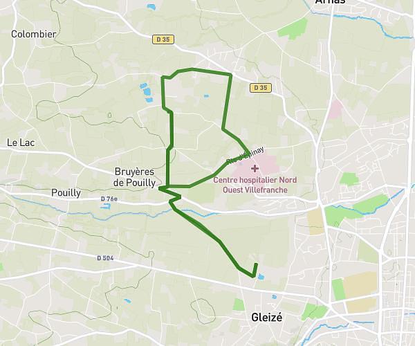
couzon centre geriatrique rout du genie
Route details
1.45mph
Speed
1121 kcal
Calories burned
9.8%
Avg grade
Loop trail
Route type
564ft
Min altitude
1388ft
Max altitude
Steep climb
Route profile
932ft
Elevation gain
932ft
Elevation loss
564ft
Min altitude
1388ft
Max altitude
How to get there
Trailhead: Rue Aristide Briand, 69270 Couzon-au-Mont-d'Or
GPS coordinates of the trailhead: 45.84674, 4.83007 / 45°50'48'' N, 4°49'48'' E