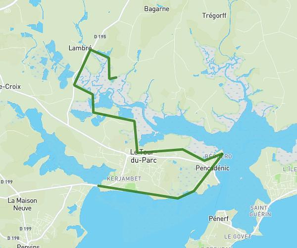
This hiking trail covers 2.036mi starting from Surzur, Morbihan. The hike is a loop trail and returns to the trailhead. This hike is rated as easy, plan for about 37m to complete it. The route has an elevation gain of 72ft and an elevation loss of 69ft.
Benezec
Route details
3.3mph
Speed
262 kcal
Calories burned
1.3%
Avg grade
Loop trail
Route type
39ft
Min altitude
89ft
Max altitude
Route profile
72ft
Elevation gain
69ft
Elevation loss
39ft
Min altitude
89ft
Max altitude
How to get there
Trailhead: 4 Route Du Keraufret, 56450 Surzur, France
GPS coordinates of the trailhead: 47.5935, -2.59983 / 47°35'36'' N, 2°35'59'' W