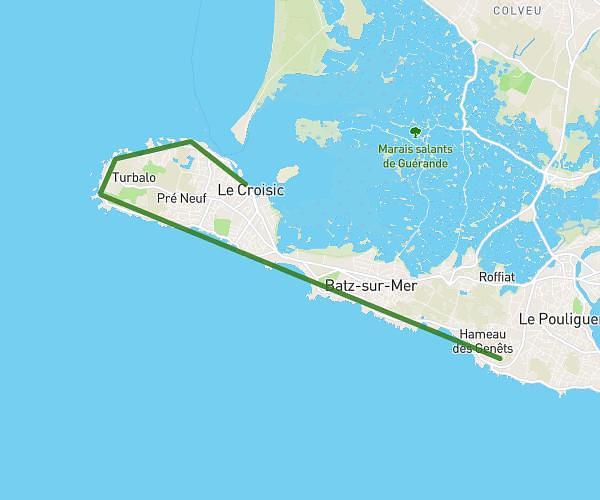
This hiking trail covers 9.652mi starting from Mesquer, Loire-Atlantique. The hike does not return to the trailhead and ends near 49 Rue Du Més, 44410 Assérac, France. This hike is rated as moderate, plan for about 1h42m to complete it. The route has an elevation gain of 489ft and an elevation loss of 456ft.
GR34 QUIMIAC
Route details
5.68mph
Speed
725 kcal
Calories burned
1.9%
Avg grade
Point to point
Route type
0ft
Min altitude
56ft
Max altitude
Route profile
489ft
Elevation gain
456ft
Elevation loss
0ft
Min altitude
56ft
Max altitude
How to get there
Trailhead: 1 Place De La Gabelle, 44420 Mesquer, France
GPS coordinates of the trailhead: 47.405572, -2.481637 / 47°24'20'' N, 2°28'53'' W