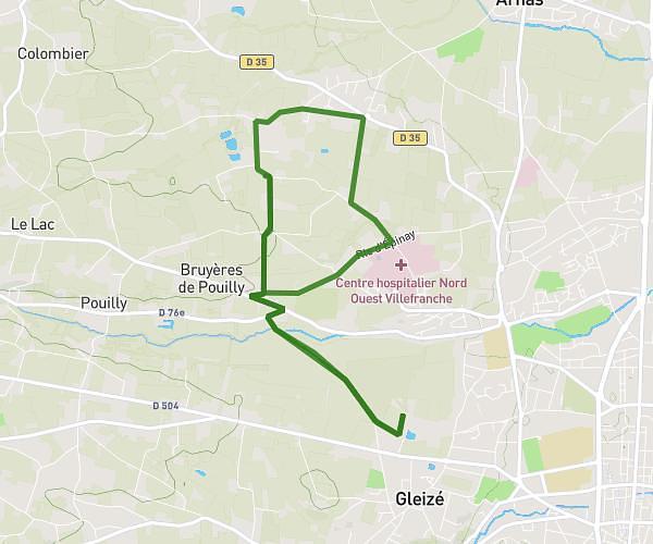
This hiking trail covers 4.85mi starting from Fleurieu-sur-Saône, Rhône. The hike does not return to the trailhead and ends near 22 Rue Pierre Bourgeois, 69300 Caluire-et-Cuire, France. This hike is rated as easy, plan for about 2h55m to complete it. The route has an elevation gain of 249ft and an elevation loss of 256ft.
Madone retour par Sathonay
Route details
1.67mph
Speed
1245 kcal
Calories burned
2.0%
Avg grade
Point to point
Route type
633ft
Min altitude
892ft
Max altitude
Route profile
249ft
Elevation gain
256ft
Elevation loss
633ft
Min altitude
892ft
Max altitude
How to get there
Trailhead: Chemin De La Madone, 69250 Fleurieu-sur-Saône, France
GPS coordinates of the trailhead: 45.8596, 4.85357 / 45°51'34'' N, 4°51'12'' E