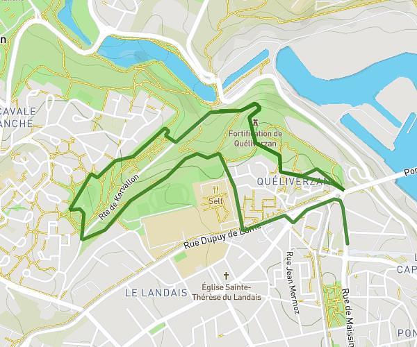
This running route covers 10.154mi starting from Ploudalmézeau, Finistère. The run does not return to the trailhead and ends near 6 Place Du Général Leclerc, 29870 Lannilis, France. This run is rated as hard, expect about 1h38m to complete it. The route has an elevation gain of 95ft and an elevation loss of 164ft.
J1 2
Route details
6.21mph
Speed
1120 kcal
Calories burned
Point to point
Route type
23ft
Min altitude
187ft
Max altitude
Route profile
95ft
Elevation gain
164ft
Elevation loss
23ft
Min altitude
187ft
Max altitude
How to get there
Trailhead: 18 Cr58 Dit De Pen-Ar-Vern, 29830 Ploudalmézeau, France
GPS coordinates of the trailhead: 48.54384, -4.67669 / 48°32'37'' N, 4°40'36'' W