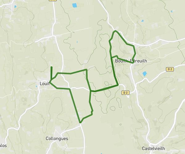
This walking route covers 5.147mi starting from Escurès, Pyrénées-Atlantiques. The walk is a loop trail and returns to the trailhead. This walk is rated as hard, plan for about 1h50m to complete it. The route has an elevation gain of 371ft and an elevation loss of 305ft.
ESCURES
Route details
21:22/mi
Pace
449 kcal
Calories burned
Loop trail
Route type
702ft
Min altitude
1056ft
Max altitude
Route profile
371ft
Elevation gain
305ft
Elevation loss
702ft
Min altitude
1056ft
Max altitude
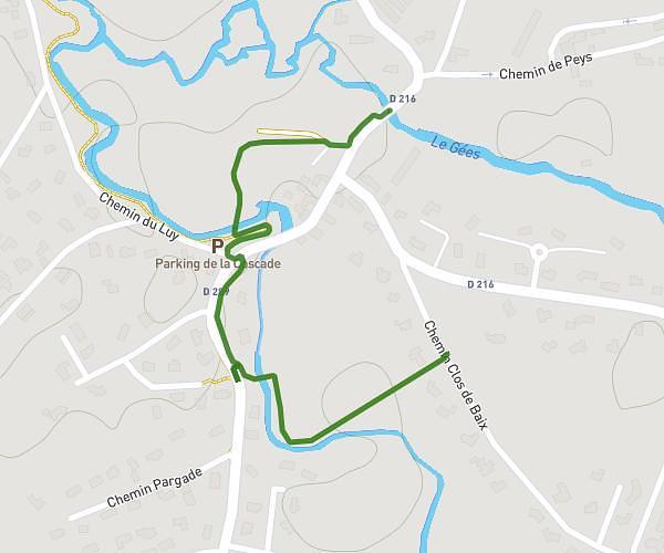
How to get there
Trailhead: 6 Chemin Des Pyrénées, 64350 Escurès, France
GPS coordinates of the trailhead: 43.46649, -0.11544 / 43°27'59'' N, 0°6'55'' W