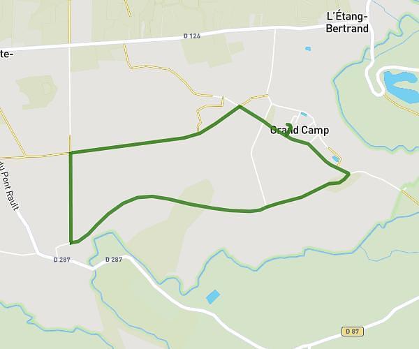
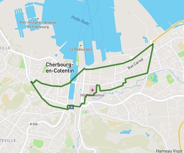
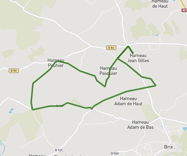
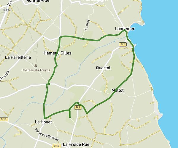
This running route covers 8.293mi starting from Cherbourg-en-Cotentin, Manche. The run is a loop trail and returns to the trailhead. This run is rated as hard, expect about 1h28m to complete it. The route has an elevation gain of 423ft and an elevation loss of 423ft.
Camille manue
Route details
5.59mph
Speed
1017 kcal
Calories burned
Loop trail
Route type
0ft
Min altitude
72ft
Max altitude
Route profile
423ft
Elevation gain
423ft
Elevation loss
0ft
Min altitude
72ft
Max altitude
How to get there
Trailhead: 90 Rue De L'abbaye, 50100 Cherbourg-en-Cotentin, France
GPS coordinates of the trailhead: 49.645856, -1.639419 / 49°38'45'' N, 1°38'21'' W