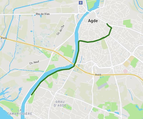
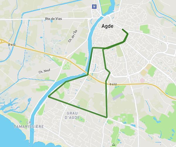
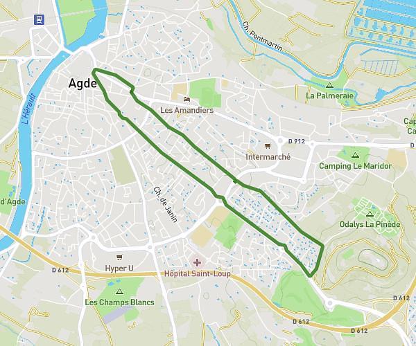
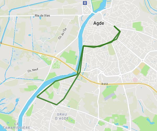
This running route covers 2.946mi starting from Servian, Hérault. The run is a loop trail and returns to the trailhead. This run is rated as easy, expect about 40m to complete it. The route has an elevation gain of 207ft and an elevation loss of 203ft.
Boucle débutant
Route details
4.42mph
Speed
457 kcal
Calories burned
Loop trail
Route type
144ft
Min altitude
266ft
Max altitude
Route profile
207ft
Elevation gain
203ft
Elevation loss
144ft
Min altitude
266ft
Max altitude
How to get there
Trailhead: 25 Rue Armand Fallières, 34290 Servian, France
GPS coordinates of the trailhead: 43.42659, 3.29738 / 43°25'35'' N, 3°17'50'' E