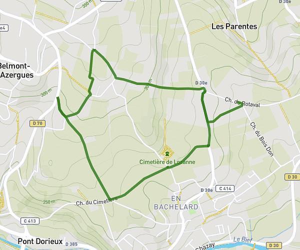
This cycling route covers 1.094mi starting from Saint-Laurent-de-Chamousset, Rhône. The ride does not return to the trailhead and ends near 17 Sentier Des Escargots, 69930 Saint-Clément-les-Places, France. This route is rated as easy, plan for about 7m to complete it. The route has an elevation gain of 26ft and an elevation loss of 190ft.
123
Route details
62 kcal
Calories burned
3.8%
Avg grade
Point to point
Route type
2021ft
Min altitude
2188ft
Max altitude
Route profile
26ft
Elevation gain
190ft
Elevation loss
2021ft
Min altitude
2188ft
Max altitude
How to get there
Trailhead: D 101, 69930 Saint-Laurent-de-Chamousset, France
GPS coordinates of the trailhead: 45.75304, 4.445513 / 45°45'10'' N, 4°26'43'' E