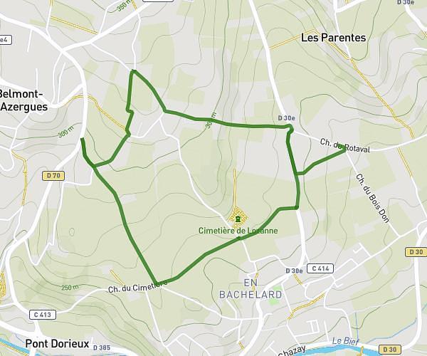
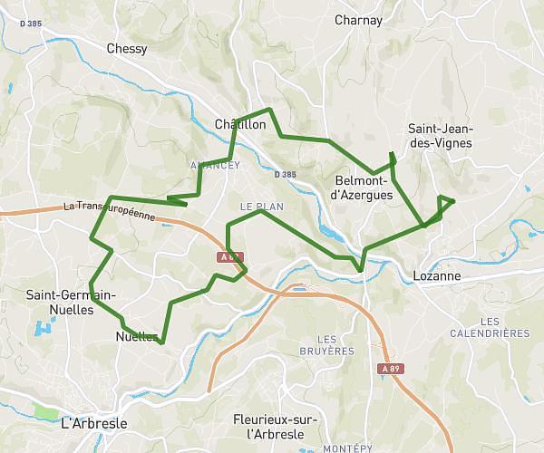
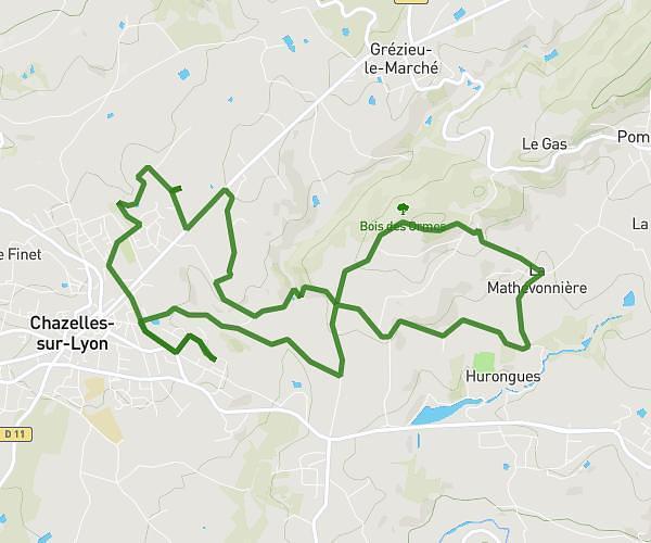
This cycling route covers 14.183mi starting from Saint-Clément-les-Places, Rhône. The ride does not return to the trailhead and ends near 94 Route De Saint-Laurent, 69930 Saint-Clément-les-Places, France. This route is rated as moderate, plan for about 1h26m to complete it. The route has an elevation gain of 522ft and an elevation loss of 407ft.
St Clément St Martin Lestra
Route details
759 kcal
Calories burned
1.2%
Avg grade
Point to point
Route type
1611ft
Min altitude
2087ft
Max altitude
Route profile
522ft
Elevation gain
407ft
Elevation loss
1611ft
Min altitude
2087ft
Max altitude
How to get there
Trailhead: 108 Rue De La Combe, 69930 Saint-Clément-les-Places, France
GPS coordinates of the trailhead: 45.754788, 4.424018 / 45°45'17'' N, 4°25'26'' E