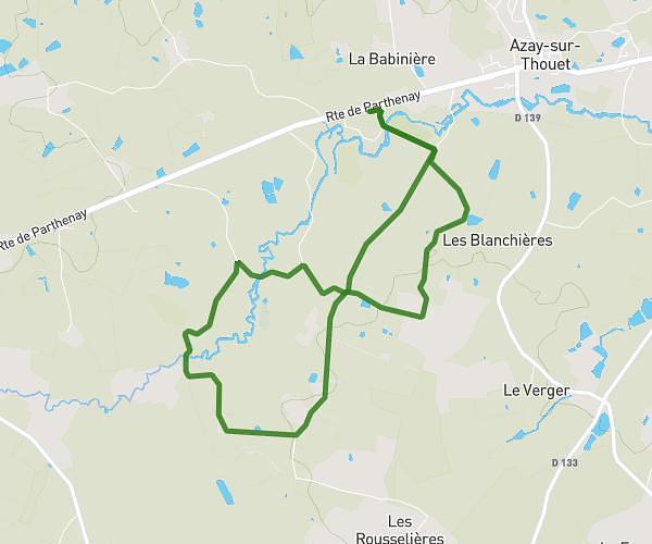
This hiking trail covers 7.01mi starting from Saint-Pardoux-Soutiers, Deux-Sèvres. The hike is a loop trail and returns to the trailhead. This hike is rated as easy, plan for about 3h28m to complete it. The route has an elevation gain of 308ft and an elevation loss of 292ft.
Saint Pardoux Soutiers / Les Sinvelinières
Route details
2.02mph
Speed
1476 kcal
Calories burned
1.6%
Avg grade
Loop trail
Route type
518ft
Min altitude
735ft
Max altitude
Route profile
308ft
Elevation gain
292ft
Elevation loss
518ft
Min altitude
735ft
Max altitude
How to get there
Trailhead: 17 Route De Parthenay, 79310 Saint-Pardoux-Soutiers, France
GPS coordinates of the trailhead: 46.57658, -0.29478 / 46°34'35'' N, 0°17'41'' W