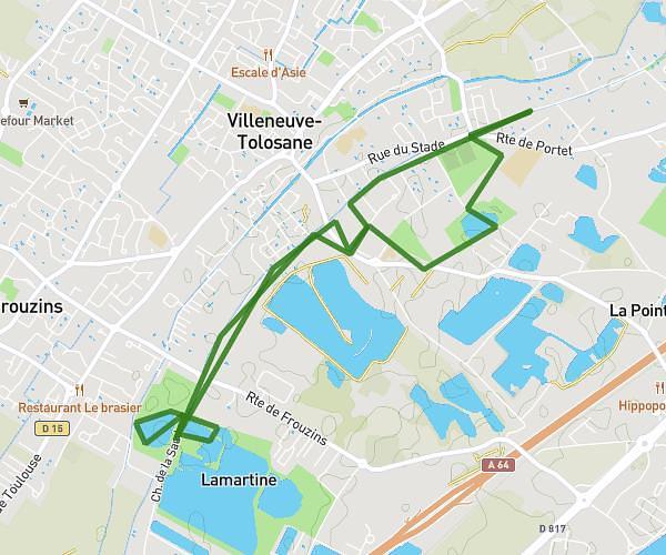
This running route covers 4.278mi starting from Castelginest, Haute-Garonne. The run is a loop trail and returns to the trailhead. This run is rated as easy, expect about 30m to complete it. The route has an elevation gain of 112ft and an elevation loss of 115ft.
Parcours castel
Route details
8.56mph
Speed
343 kcal
Calories burned
Loop trail
Route type
410ft
Min altitude
436ft
Max altitude
Route profile
112ft
Elevation gain
115ft
Elevation loss
410ft
Min altitude
436ft
Max altitude
How to get there
Trailhead: 30 Rue Saint-Charles, 31780 Castelginest, France
GPS coordinates of the trailhead: 43.69058, 1.4275 / 43°41'26'' N, 1°25'38'' E