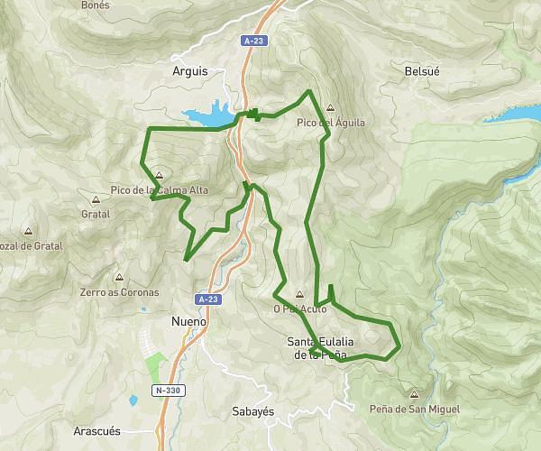
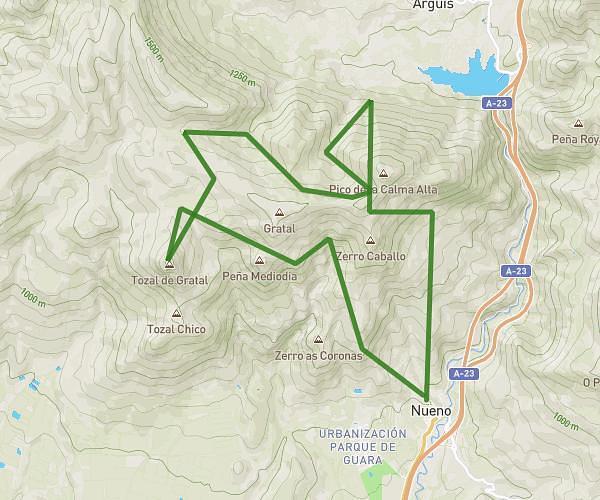
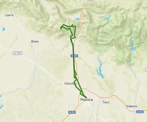
This running route covers 9.043mi starting from Loarre, Huesca. The run does not return to the trailhead and ends near Calle De Coarasa (Don Antonio) 9, 22809 Loarre, Huesca, Spain. This run is rated as hard, expect about 2h54m to complete it. The route has an elevation gain of 1854ft and an elevation loss of 1762ft.
Loarre-Linas castillo
Route details
3.11mph
Speed
1997 kcal
Calories burned
Point to point
Route type
2293ft
Min altitude
3287ft
Max altitude
Route profile
1854ft
Elevation gain
1762ft
Elevation loss
2293ft
Min altitude
3287ft
Max altitude
How to get there
Trailhead: Camino De Loarre A Sarsamarcuello 81, 22809 Loarre, Huesca, Spain
GPS coordinates of the trailhead: 42.313541, -0.629027 / 42°18'48'' N, 0°37'44'' W