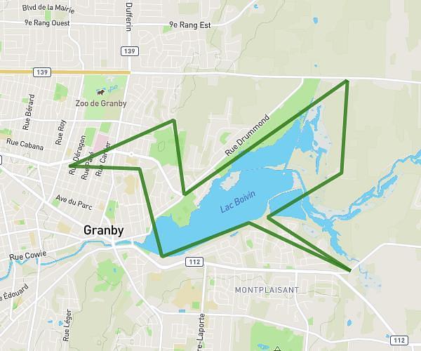
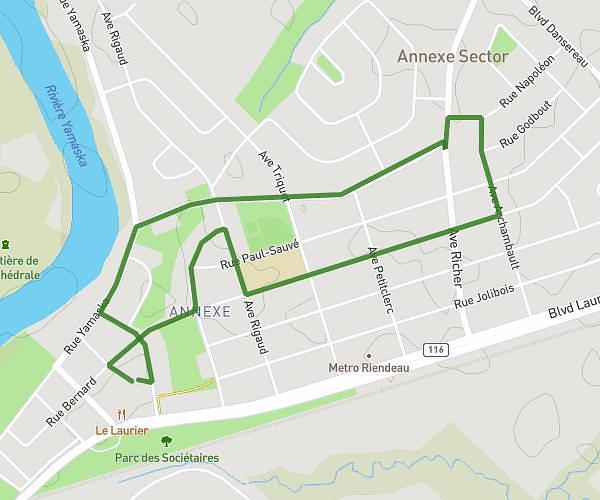
This running route covers 16.818mi starting from Granby, Quebec. The run does not return to the trailhead and ends near 190 Rue George-Slack, Granby, Quebec J2H 2Z6, Canada. This run is rated as strenuous, expect about 3h to complete it. The route has an elevation gain of 131ft and an elevation loss of 59ft.
Fête 27 ans
Route details
5.6mph
Speed
2058 kcal
Calories burned
Point to point
Route type
374ft
Min altitude
499ft
Max altitude
Route profile
131ft
Elevation gain
59ft
Elevation loss
374ft
Min altitude
499ft
Max altitude
How to get there
Trailhead: 341 Rue Saint-André Ouest, Granby, Quebec J2G 1Z9, Canada
GPS coordinates of the trailhead: 45.40815, -72.72725 / 45°24'29'' N, 72°43'38'' W