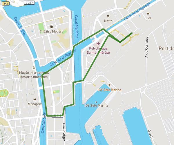
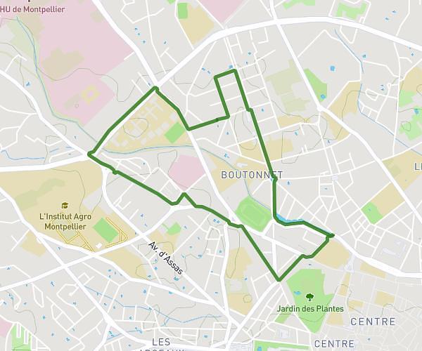
This running route covers 7.919mi starting from Montpellier, Hérault. The run is a loop trail and returns to the trailhead. This run is rated as hard, expect about 1h25m to complete it. The route has an elevation gain of 410ft and an elevation loss of 410ft.
Boucle 13km
Route details
5.59mph
Speed
972 kcal
Calories burned
Loop trail
Route type
52ft
Min altitude
171ft
Max altitude
Route profile
410ft
Elevation gain
410ft
Elevation loss
52ft
Min altitude
171ft
Max altitude
How to get there
Trailhead: 267 Rue Raimon De Trencavel, 34070 Montpellier, France
GPS coordinates of the trailhead: 43.589633, 3.859671 / 43°35'22'' N, 3°51'34'' E