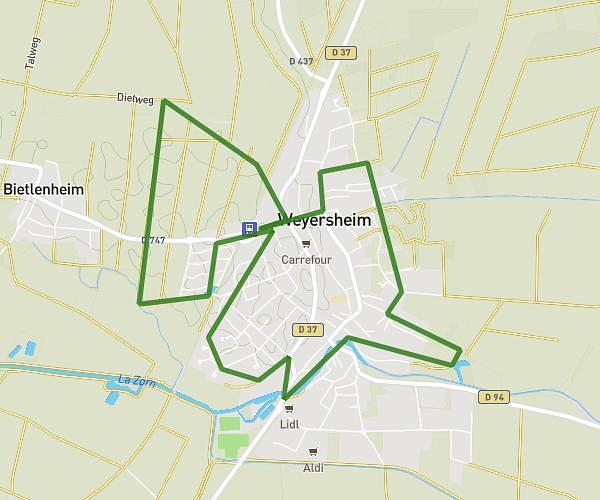
This running route covers 6.559mi starting from Illkirch-Graffenstaden, Bas-Rhin. The run does not return to the trailhead and ends near 9 Rue Pierre Et Marie Curie, 67540 Ostwald, France. This run is rated as moderate, expect about 1h10m to complete it. The route has an elevation gain of 243ft and an elevation loss of 253ft.
trajet voiture
Route details
5.62mph
Speed
800 kcal
Calories burned
Point to point
Route type
446ft
Min altitude
499ft
Max altitude
Route profile
243ft
Elevation gain
253ft
Elevation loss
446ft
Min altitude
499ft
Max altitude
How to get there
Trailhead: 6 Avenue De Strasbourg, 67400 Illkirch-Graffenstaden, France
GPS coordinates of the trailhead: 48.544138, 7.736938 / 48°32'38'' N, 7°44'12'' E