MapPlanner
4.054mi
Distance
1h15m
Duration
+266ft
Elevation gain
-262ft
Elevation loss
Easy
Level

Tortues

Route details

3.24mph
Speed
536 kcal
Calories burned
2.5%
Avg grade
Loop trail
Route type
430ft
Min altitude
564ft
Max altitude

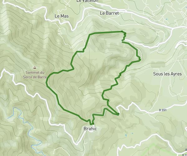
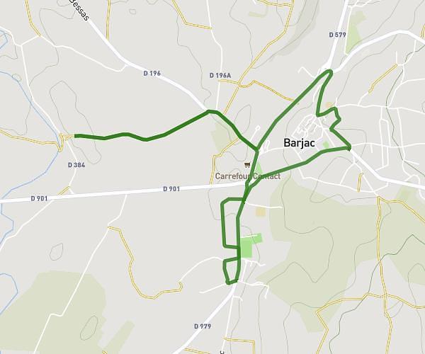
This hiking trail covers 4.054mi starting from Barjac, Gard. The hike is a loop trail and returns to the trailhead. This hike is rated as easy, plan for about 1h15m to complete it. The route has an elevation gain of 266ft and an elevation loss of 262ft.

Route profile

266ft
Elevation gain
262ft
Elevation loss
430ft
Min altitude
564ft
Max altitude

How to get there

Trailhead: 8 Place Du Docteur Roques, 30430 Barjac, France

GPS coordinates of the trailhead: 44.30906, 4.34779 / 44°18'32'' N, 4°20'52'' E

Caution: May Cross Private Property

This route may pass through or near private property. Always respect posted signs, obtain permission where required, and follow local trespassing laws. MapPlanner does not guarantee public access along any route.

Safety Notice

Trail and road conditions may change without notice due to weather, construction, or other factors. Always verify current conditions before heading out. You are responsible for your own safety — follow local signage, obey traffic laws, and use your best judgment on the trail.