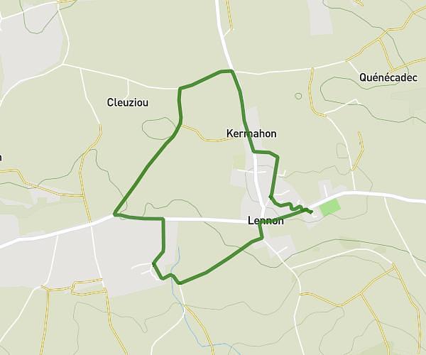
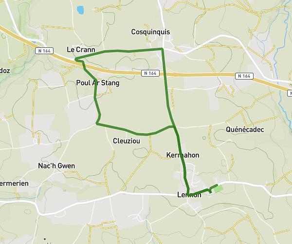
This running route covers 5.846mi starting from Pont-de-Buis-lès-Quimerch, Finistère. The run is a loop trail and returns to the trailhead. This run is rated as moderate, expect about 1h4m to complete it. The route has an elevation gain of 518ft and an elevation loss of 161ft.
Boucle moyenne allongée
Route details
5.48mph
Speed
732 kcal
Calories burned
Loop trail
Route type
203ft
Min altitude
722ft
Max altitude
Route profile
518ft
Elevation gain
161ft
Elevation loss
203ft
Min altitude
722ft
Max altitude
How to get there
Trailhead: Chemin De Guernevez, 29590 Pont-de-Buis-lès-Quimerch
GPS coordinates of the trailhead: 48.28887, -4.07115 / 48°17'19'' N, 4°4'16'' W